
Looking Up New Haven Neighbors
The block lookup starts at a known address and follows a geometry relation. In New Haven, use the VGSI ArcGIS parcel service to identify the target polygon, parcel ID, MBLU components, street, building, and city-boundary layer. Then open each adjacent parcel in the municipal assessor search. Use the deed index when ownership history matters, the Judicial property search for a bounded case question, and historical directories or maps for an older block.
| Source | What It Shows About a Block | Access |
|---|---|---|
| VGSI ArcGIS parcel layer | Target and adjacent polygons, IDs, MBLU, buildings, streets, boundary | Free REST map, query, identify, distance |
| New Haven VGSI card | Owner, mailing and situs, assessment, exemptions, sales for one parcel | Free address, owner, account, MBLU, or PID search |
| Town clerk land records | Transfers, mortgages, liens, maps, legal descriptions on nearby lots | SearchIQS, RecordHub, office and certified copies |
| DESPP 911 GIS | Address points, street centerlines, and tax-parcel points | State GIS layer, current update context |
| Judicial property search | Public property case, foreclosure party, docket, or status clue | Free summary with date cutoffs |
| Directories and maps | Historical names, business context, block footprint, old street alignment | NHFPL, Yale, LOC, libraries, archives |
| Civic organizations | Neighborhood label, meeting place, public contact, schedule | Open public pages, no household roll |
A neighbor result should state whether the parcel shares a boundary, faces the address across a street, sits behind it, or is simply nearby. A right-of-way, water feature, condo unit, or municipal line can change the relation.
Select a New Haven Parcel in GIS
The New Haven property map exposes City Boundary, Buildings, Parcels, and Streets layers. Its parcel schema includes parcel ID, account number, owner-related fields, MBLU components, geometry, area, and length. The service supports query, identify, distance, JSON, and GeoJSON operations. The safe workflow is to capture the target parcel before opening a neighbor card.
The Connecticut DESPP 911 GIS page supplies the state address-point context.
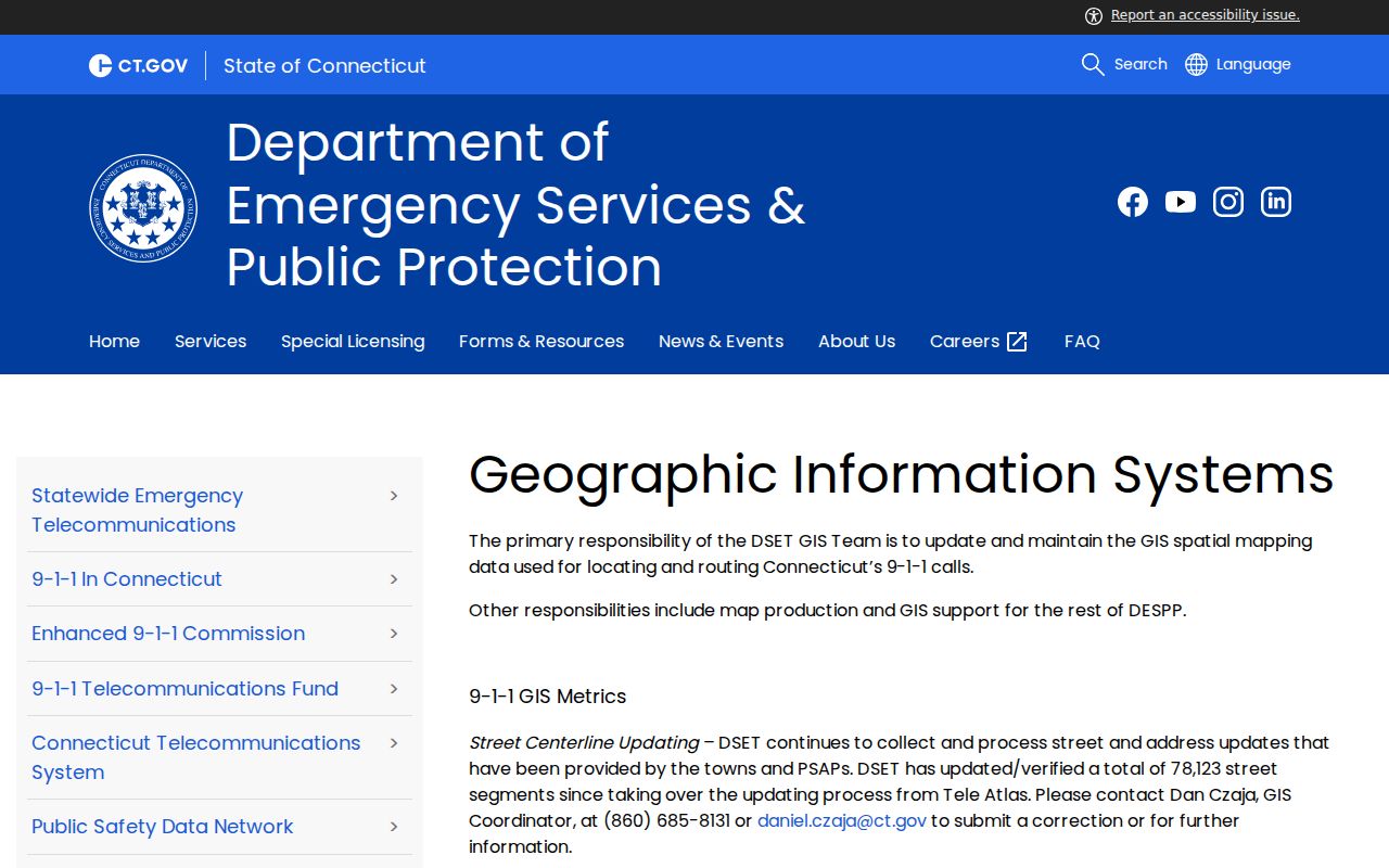
The address-point and street-centerline layer helps test whether a map point and a parcel situs agree.
For the target, save parcel ID, MBLU, street, building footprint, and any condo, right-of-way, water, or suppression flag. Do not use a visual map edge to create a person relation. Geometry decides the parcel relation, while the assessor and clerk supply the record meaning.
Read Four Adjacent New Haven Parcels
When geometry allows, label the immediate left, right, front, and rear parcels. A parcel across a public street is front-facing, not necessarily boundary-sharing. A narrow right-of-way can sit between two polygons. A water layer or condo unit can change what “next door” means. Record the relation and source before searching a name.
- Open the target parcel and capture its ID, MBLU, street, building, and boundary position.
- Select polygons that share a boundary or sit across the street, and label the relation.
- Open each parcel ID in VGSI using Address, Owner, Acct#, MBLU, or PID mode.
- Keep owner, mailing, situs, assessment, and sales fields separate.
- Use the clerk or Judicial Branch only when a transfer or property case answers a defined question.
The research did not verify a countywide radius or bulk-neighbor tool in the GIS gallery. Use the documented polygon and parcel query tools rather than promising a radius filter.
Open Each New Haven Assessor Card
VGSI is a one-parcel-at-a-time reference search. Address mode can open a situs. Owner mode can locate a name. Acct#, MBLU, and PID can repeat an exact parcel route. The card may show owner, mailing address, assessment, exemptions, sales, property characteristics, legal or map references, and an update context. The mailing field may point out of town. A card is not a full household record.
OPM's statewide parcel and CAMA layer can help compare a New Haven parcel with broader metadata. It identifies parcel types and suppression behavior, but OPM does not modify local data. Geometry, currency, and field completeness vary. A blank owner field may reflect suppression under CGS §1-217 or incomplete source data.
For a current owner history, connect the card to the municipal clerk's deed index. For a historical block, connect it to a reverse directory, newspaper, Sanborn sheet, or Yale map. Each connection must retain its date.
Trace New Haven Block Deeds
New Haven SearchIQS and other municipal clerk routes can show transfers, mortgages, liens, maps, and legal descriptions on nearby lots. The practical New Haven land-record range is roughly 1951 or 1952 to present, while maps reach to 1835. The SearchIQS direct search form was not safely inspected because of an access gate, so request exact fields or a copy from the clerk rather than borrowing another town's search behavior.
A deed can resolve a boundary question when the legal description, prior instrument, map, or lot reference is clear. It can show a grantor and grantee, but those parties are not automatically the people who lived in the building. A certified copy belongs with the municipal clerk. Older deeds or maps may require office, mail, phone, library, State Library, or archive help.
For a case tied to a property, the Judicial property-address search accepts town, street, ZIP, property type, case status, and case type. Its date cutoffs mean an absent result is not proof that a property had no earlier court event.
Compare New Haven ZIPs Across a Block
USPS postal geography can split a visually simple block. A ZIP, post-office name, station label, or special code may not match the municipal town. Preserve USPS ZIP and city, delivery type, situs municipality, parcel ID, and county as distinct fields. A Woodbridge parcel can have a New Haven mailing label, and North Haven or Waterbury edge codes can carry station or special use.
Use the USPS address lookup for the exact address, then compare the result with assessor and GIS data. A ZIP is useful for sorting a block query or checking mail routing. It is weak evidence of ownership, occupancy, or neighborhood membership.
Find New Haven's Civic Umbrella
Community Management Teams add a civic layer to the block. New Haven's public inventory includes Downtown and Wooster Square, Westville and West Hills, Dixwell, Hill North and South, Dwight and West River, Newhallville, East Rock, Fair Haven, Quinnipiac East and Fair Haven Heights, East Shore and Annex, and Whalley, Edgewood, and Beaver Hills. Ward 14's public participation route also names Fair Haven and Chatham Square.
The public pages give meeting places, schedules, and civic contacts. They do not provide a member roll. No official HOA roster, block-watch list, congregation roll, or chamber membership directory was located. Use a public civic contact to learn neighborhood history or attend an open meeting. Do not turn attendance, a public email, or a neighborhood label into proof that a named person lives on the block.
The Ward 14 participation page supplies the Fair Haven civic context shown below.
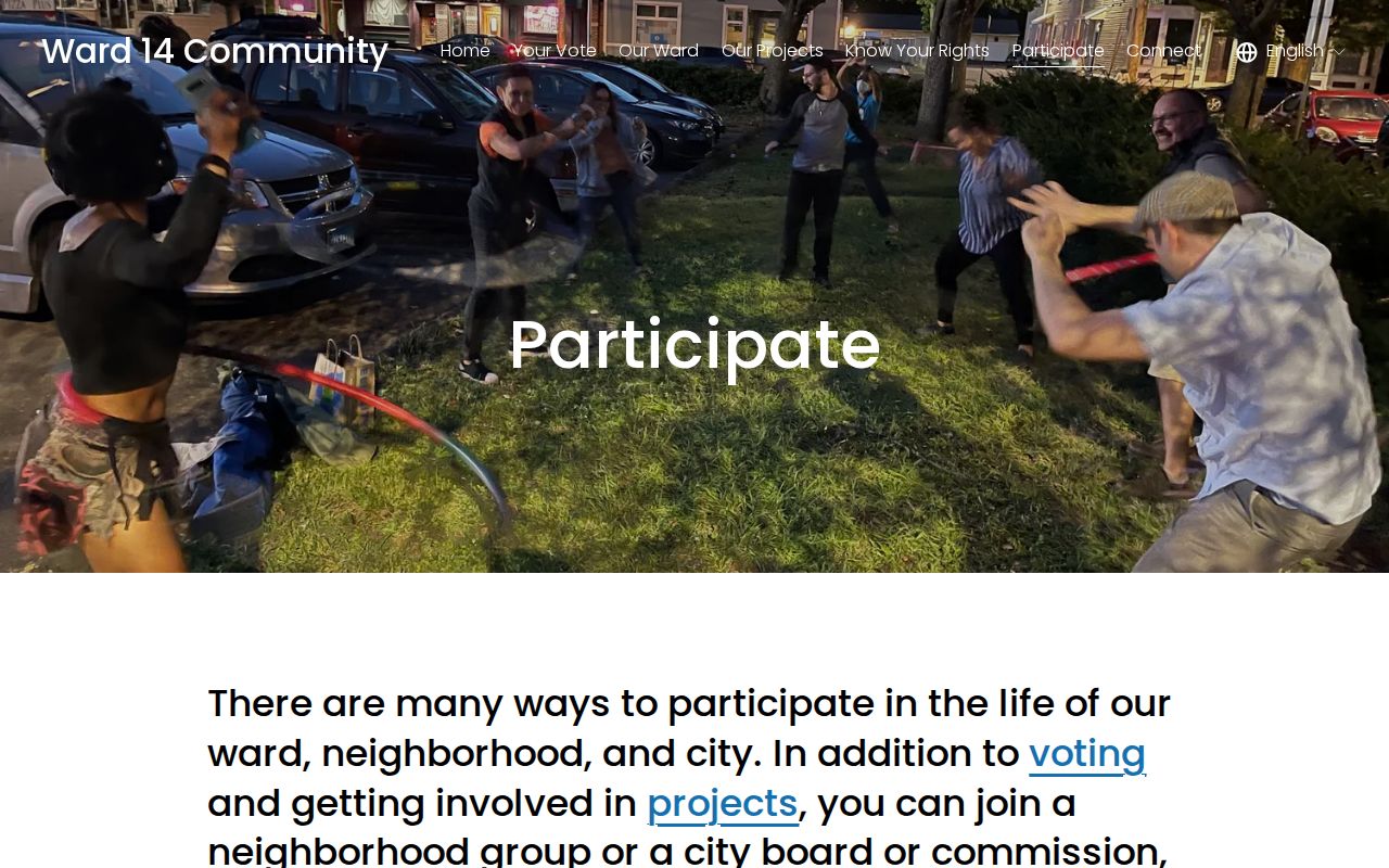
The civic page illustrates a useful neighborhood contact without pretending to publish a household directory.
| Public group | Published route |
|---|---|
| Westville and West Hills CMT | Public CMT page and wwhcmt.org |
| Newhallville CMT | Public meeting page and newhallvillecmt.org |
| Quinnipiac East and Fair Haven Heights | qemt.org public civic route |
| Fair Haven and Chatham Square | Ward 14 public participation page |
New Haven Records Versus Compiled Tools
Two source categories can look alike in a search box but have different value. Official records come from the assessor, clerk, registrar, court, library, or state program and show a defined field, date, and custodian. A commercial compiled tool may combine public and private data, repeat old addresses, or join common names. The category can be a discovery clue, but it has no municipal certification.
| Category | Strength | Limit |
|---|---|---|
| Municipal parcel or deed | Defined owner, parcel, transfer, or legal fields | Does not list every occupant |
| Public civic page | Neighborhood name, meeting, and contact context | No private membership list |
| Historical directory | Dated names, addresses, occupations, household convention | Omissions and year-specific coverage |
| Compiled search category | May suggest a lead across sources | Stale, mismatched, and not certified |
The block question determines the right official source. Use GIS for adjacency, VGSI for parcel reference, the clerk for recorded transfers, the library for older names, and a civic page for public neighborhood context.
Privacy Limits for New Haven Neighbors
Connecticut does not expose a public “all voters on this block” mode through the documented SOTS lookup. The lookup asks for a town, surname, first name or initial, and date of birth. The statewide voter file costs $300, carries purpose limits, and restricts casual personal or commercial use. Safe at Home and the Voter Registry Privacy Program can suppress an address or name. A blank field may be intentional.
A neighbor lookup should not publish a list of nearby voters or infer household members from a parcel. Keep names, addresses, and public contacts to the minimum needed to answer a lawful question. If a requested person is protected, a victim, a minor, or in a safety program, stop at the non-identifying result and follow the custodian's lawful process.
Lawful block research. Use GIS and public records for parcel history, genealogy, civic understanding, and other lawful personal purposes. Do not use New Haven neighbors data to stalk, harass, intimidate, impersonate, or harm anyone.
The full named-street chain belongs with the New Haven street directory. This block-level page ends at the parcel relation, public civic layer, and source-dated privacy boundary.